Description
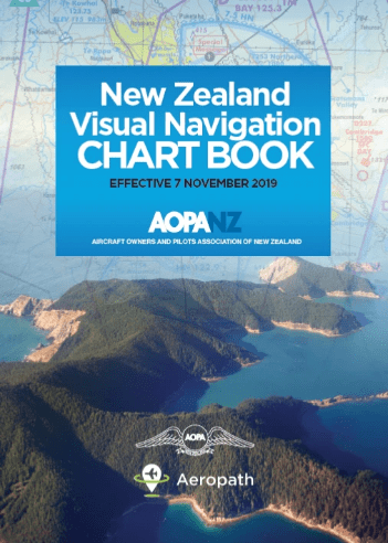
Jointly developed by AOPA and Aeropath.
This book contains Visual Navigation Charts (VNCs) for the whole of mainland New Zealand and was designed to enable easier access to charts in cockpits.
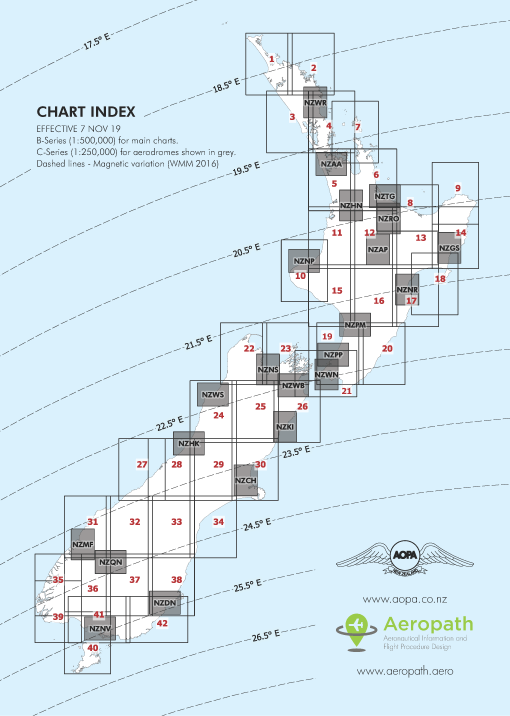
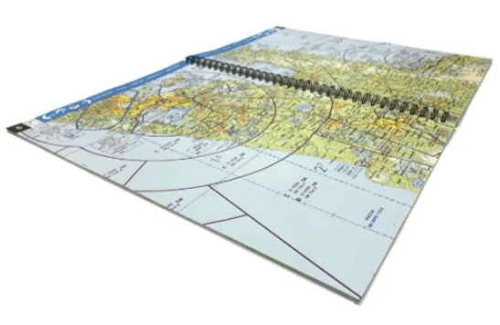
Features: A4 ring bound format for easy use in the cockpit 1:500,000 scale visual navigation charts covering all of mainland New Zealand (traditional B series VNCs)
1:250,000 scale visual navigation charts (traditional C series VNCs) covering the following locations, ordered North to South:
Whangarei
Auckland
Tauranga
Hamilton
Rotorua
Taupo
Gisborne
Napier/Hastings
New Plymouth
Palmerston North
Paraparaumu
Nelson
Wellington
Woodbourne/Omaka
Kaikoura
Westport
Hokitika
Christchurch
Milford
Queenstown
Dunedin
Invercargill
Reviews
There are no reviews yet.